Over 60 strikes marked on interactive map of Russia’s military objects in Crimea

Over 60 strikes marked on interactive map of Russia’s military objects in Crimea

Ukrinform
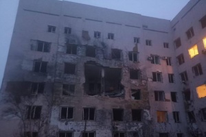
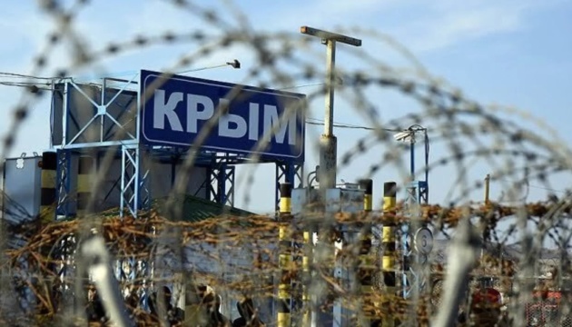
Journalists of the Crimea.Realities RFE/RL’s project have recorded more than 60 strikes on the military and logistics infrastructure of the Russian army in the temporarily occupied Crimea since the beginning of the full-scale war.

The corresponding strikes are marked on the interactive map of Crimea, Ukrinform reports.

The map description states that it contains 232 military objects in 10 categories with geolocation marks in the temporarily occupied Crimea.

"On the Planet Labs satellite imagery and photos, one can see the bases of the Russian Black Sea Fleet, locations of military units of various types of troops, radars and air defense systems, airfields and fuel bases. More than 60 places in Crimea, where explosions took place since the beginning of the war, have been marked," the post says.

Read also: Russia may strike civilian ships from occupied Crimea – Humeniuk

More than 60 locations of Russian fortifications are also marked on the map.

As reported, in May a map was published with 223 active, temporary, and preserved military facilities of the Russian Federation in the temporarily occupied Crimea.

While citing and using any materials on the Internet, links to the website ukrinform.net not lower than the first paragraph are mandatory. In addition, citing the translated materials of foreign media outlets is possible only if there is a link to the website ukrinform.net and the website of a foreign media outlet. Materials marked as "Advertisement" or with a disclaimer reading "The material has been posted in accordance with Part 3 of Article 9 of the Law of Ukraine "On Advertising" No. 270/96-VR of July 3, 1996 and the Law of Ukraine "On the Media" No. 2849-Х of March 31, 2023 and on the basis of an agreement/invoice.

© 2015-2024 Ukrinform. All rights reserved.

Extended searchHide extended search
By period:
-