"Big Water" of Kakhovka Reservoir
The second man-made disaster after Chernobyl. This is how scientists assess the Russian explosion of the Kakhovka hydroelectric power plant that occurred on the night of June 6.
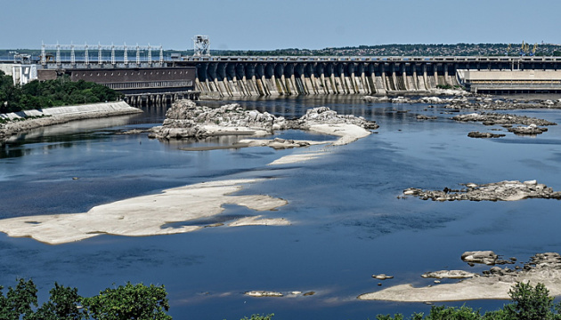
In Zaporizhzhia, due to a significant drop in water levels, the historic channel of the Dnipro River opened up and unique islands came to the surface.
TO LOOK "UNDER THE WATER"
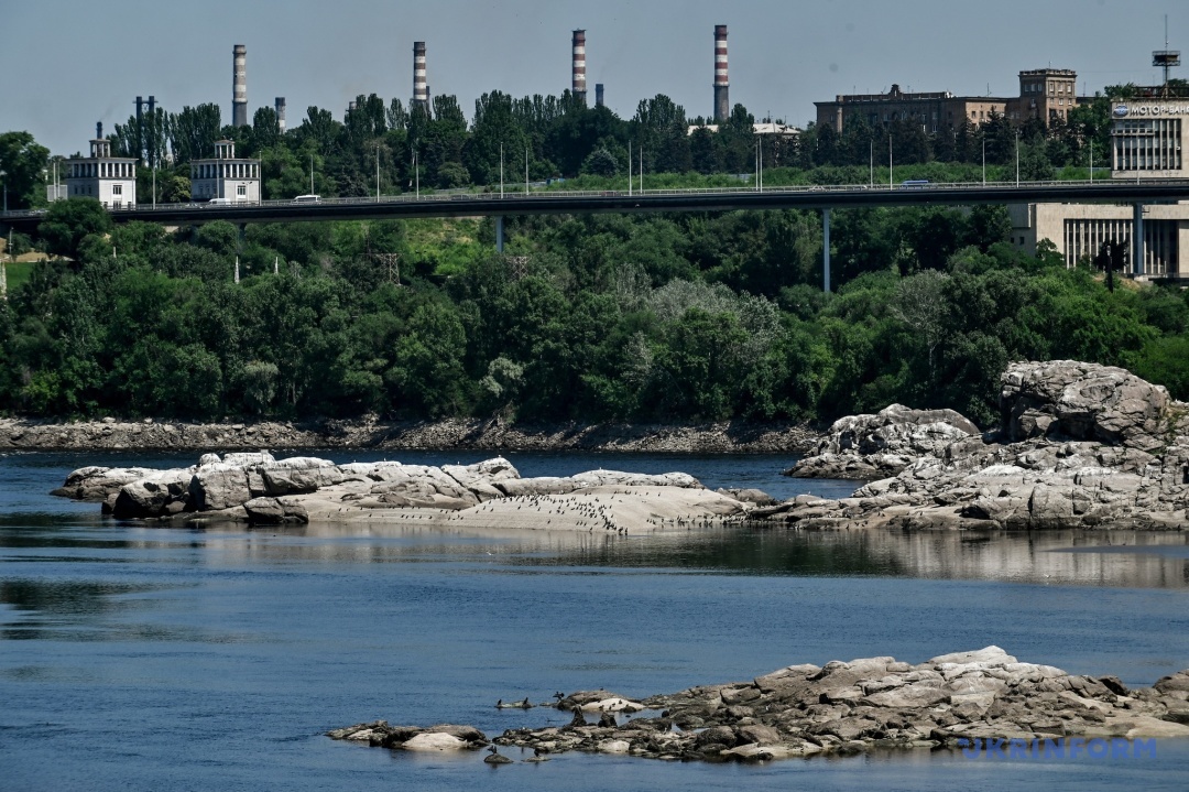
"Today, in Zaporizhzhia and downstream, we are witnessing processes on the Dnipro River that were considered commonplace in the first half of the twentieth century. I mean significant seasonal fluctuations in water level, acceleration of the flow rate in certain parts of the river, formation of sandbanks, islands, spits, etc. The Dnipro will change gradually, but even these changes may look unusual or even strange to us," says Mykhailo Mordovskoi, head of the Zaporizhzhia Craft Museums Network.
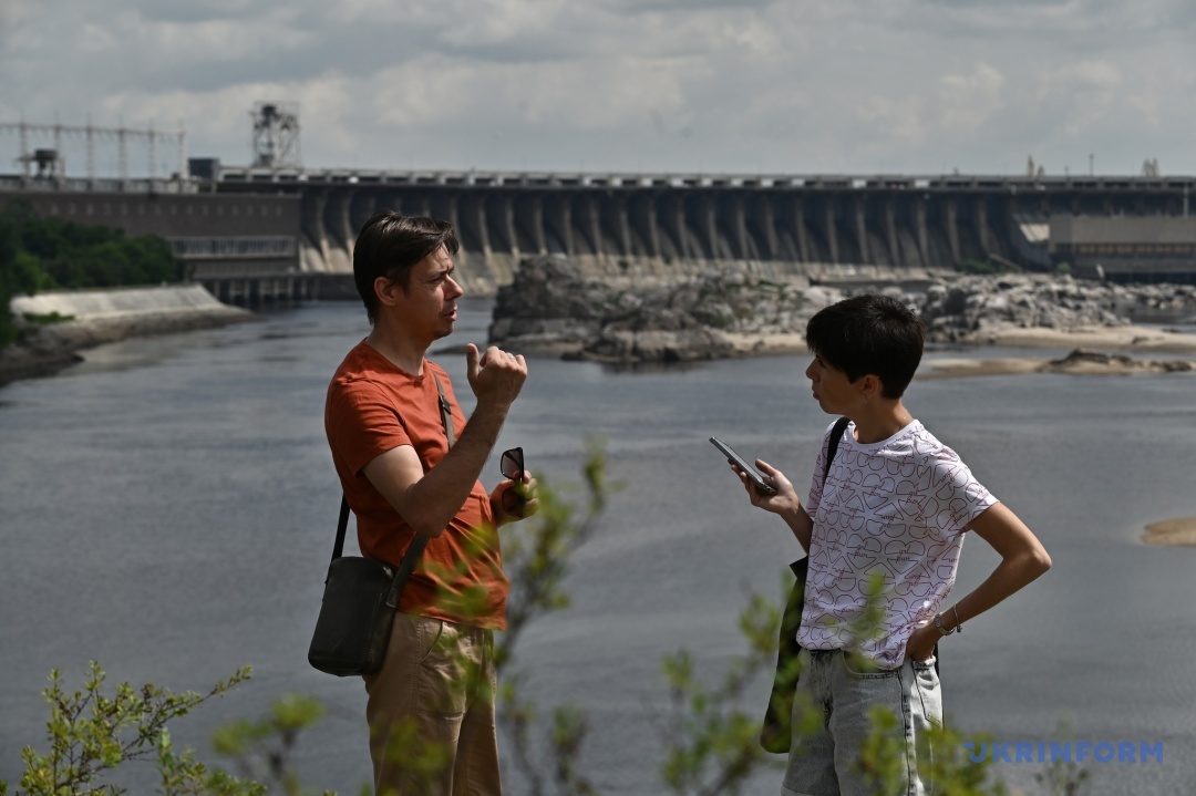
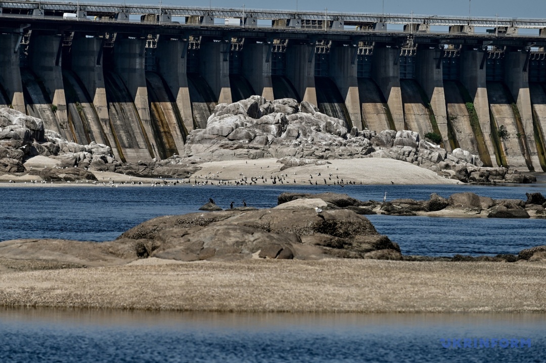
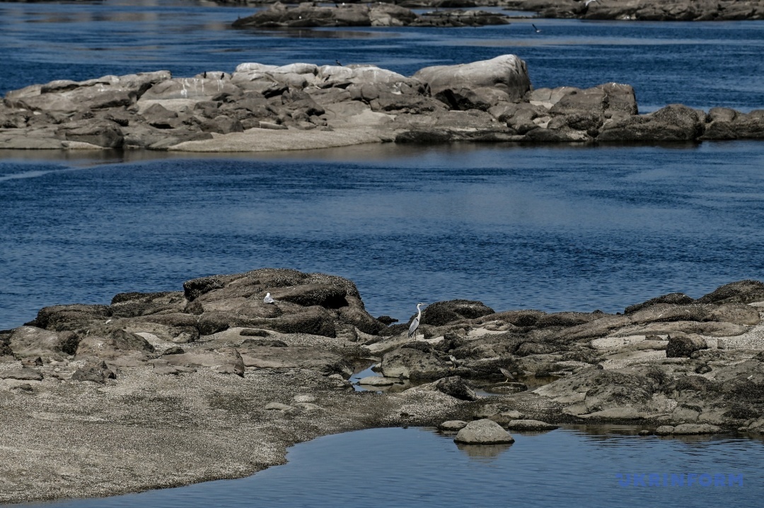
We meet him on the island of Khortytsia, on the side that faces the dam of the Dnipro hydroelectric power station. Between the island and the dam, the Dnipro Rapids have now opened. This is a geological reserve of national importance, with an area of 1373 hectares. The reserve includes part of Khortytsia Island, Baidy Island, Dubovyi Island, Stig-1, Stig-2, Stig-3, and Dva Braty rocks.
"After the Kakhovka hydroelectric power station was blown up, the water level dropped rapidly, and we see the Dnipro River as it was before the construction of the Kakhovka hydroelectric power station, before the 1950s. This area looked even stranger before the beginning of the twentieth century, i.e. the islands we see under the dam itself were connected to Khortytsia Island by a sandbank, which is now visible," continues Mykhailo Mordovskoi.
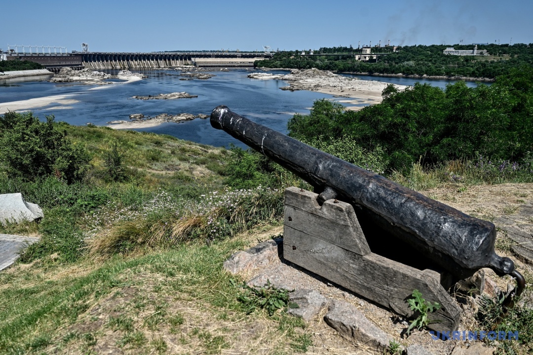
He adds that the rocks of the Ukrainian crystalline shield, formed millions of years ago, have now emerged from the water, and the Dnipro River is returning to its natural state in this area. And now the city's residents can see it with their own eyes.
In turn, Mykhailo Mulenko, head of the nature protection sector of the Khortytsia National Reserve, notes that the water level around Khortytsia has dropped by 4.2 meters [the maximum figure] from the initial level at the time of the Kakhovka hydroelectric power plant explosion. This is 1.5-2 meters below the normal level. The figures could have been higher, but there was significant flooding during the spring floods.
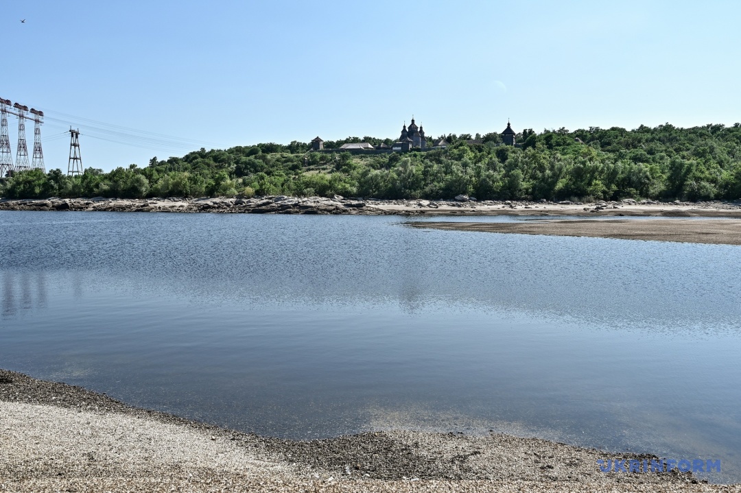
"Now, as a result of the lowered water level, about 150 hectares of the coastline have been exposed, including the coastal strip, beaches, and about 100 hectares of floodplain water bodies, the so-called lakes on the southern part of Khortytsia Island. This resulted in the death of a significant amount of aquatic vegetation, which is why we can observe an unpleasant odor in Zaporizhzhia. Unfortunately, we can't do anything about it, so we have to be patient. But the fish did not freeze. The water flowed out with the fish," says a researcher at the national reserve.
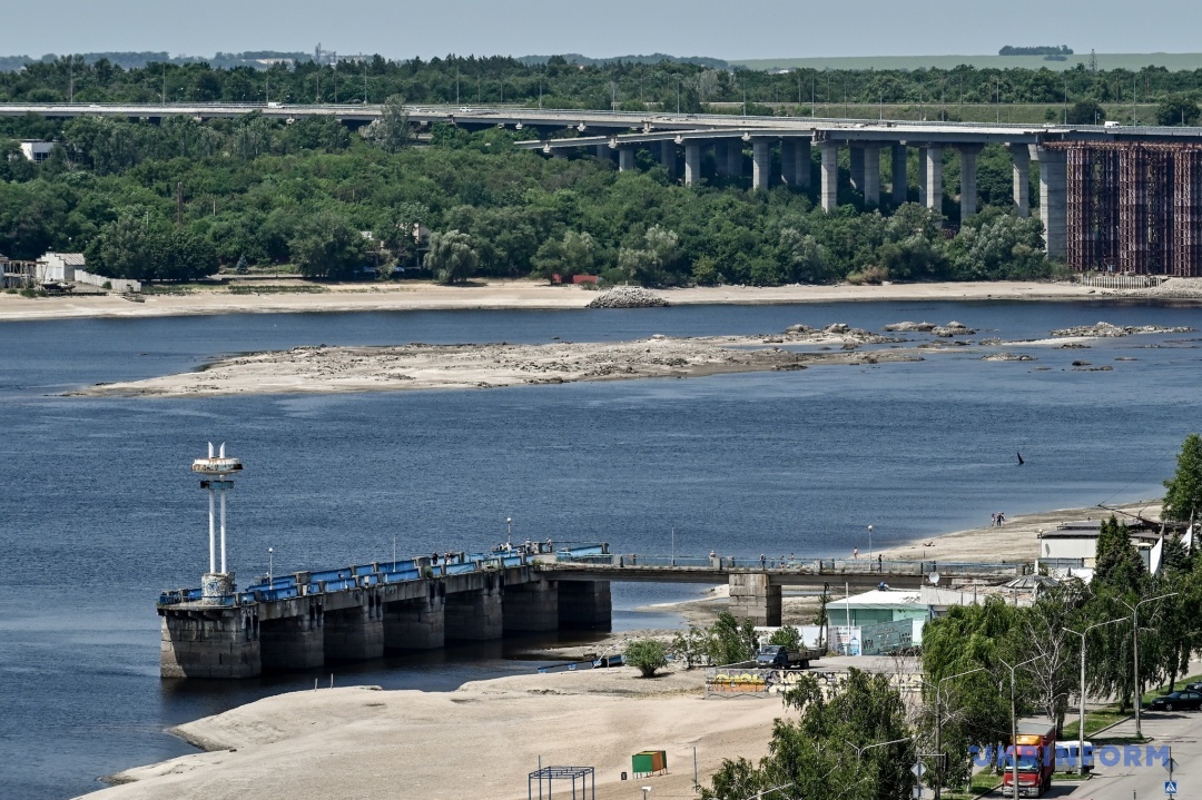
He names different types of plants that used to live in the water and now find themselves on land, and explains that even if they survive the heat, they will definitely not pass the winter test.
"Absolutely all types of algae, water lilies are under threat... Most birds have laid eggs and are now on the nest," adds Mulenko.
Experts remind us that in the nineteenth and twentieth centuries, the Dnipro suffered from floods: every spring, the water level rose by more than 2 meters, the river overflowed, and this made it possible to move along the Dnipro rapids. In summer, the level would drop and at the end of summer it was always the lowest. Today, the water level is regulated by hydroelectric power plants.
SHIPPING IS NOT FOR EVERYONE
On maps of the early twentieth century, the territory of the so-called new Dnipro was always marked with sand spits and islands. The process of forming a channel was constantly going on there until it was deepened for navigation and until the Kakhovka Reservoir appeared, which raised the water level slightly.
It is good that new places for birds to nest are now being freed up in the middle of a big city. But there are certain problems for shipping.
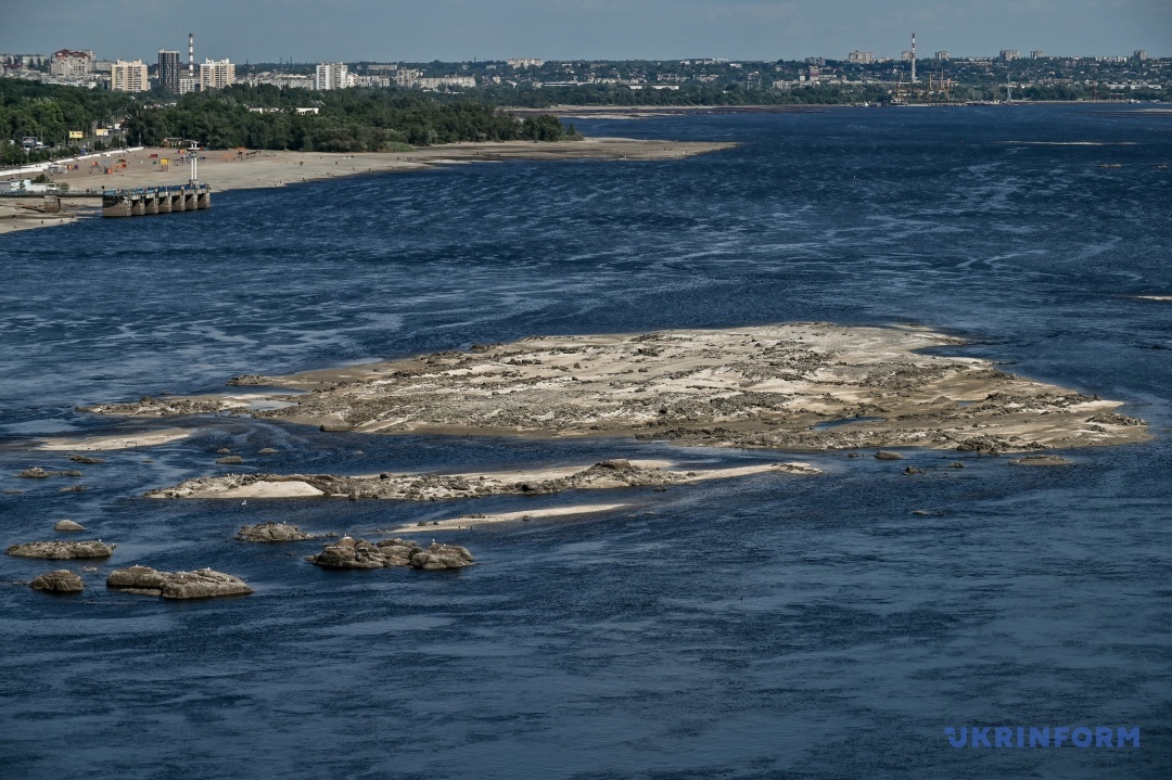
"It seems to me that the Dnipro will need to be deepened... If we are talking about large river-sea vessels, there may be some difficulties or impossibility of movement of certain classes of ships. The Kakhovka HPP created siltation in places where there was a natural fairway. Thus, the shipping route existed before the construction of the Kakhovka dam. It was a large, high-flowing river. After the construction of the hydroelectric cascade, the Dnipro burst its banks, became much deeper, the flow rate decreased, and the process of island and spit formation stopped," Mordovskoi says.
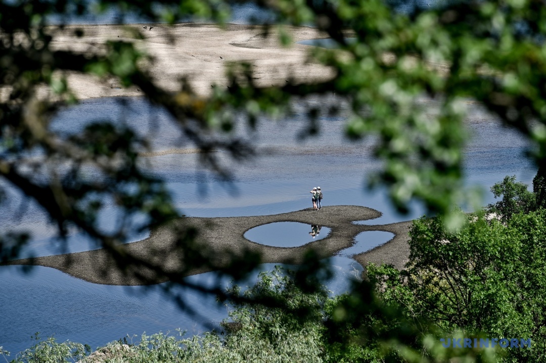
Below Khortytsia Island, the "Velykyi Luh" National Nature Park began. Today, there are many opinions about the possible revival of this unique natural object, but scientists are sure that we will not see the Velykyi Luh as it was before the flooding. Most likely, it will be a completely different ecosystem, but much depends on how quickly the Kakhovka HPP is rebuilt.
ARCHAEOLOGICAL SITES WASHED AWAY BY WATER

After the Kakhovka hydroelectric power plant was blown up, we saw the "Great Meadow", but in a much worse version than it was before the reservoir was flooded. This is what Hennadiy Toschev, PhD in History, Associate Professor, says. He calls the explosion of the Kakhovka hydroelectric power plant nothing less than a catastrophe - environmental, humanitarian, and man-made.
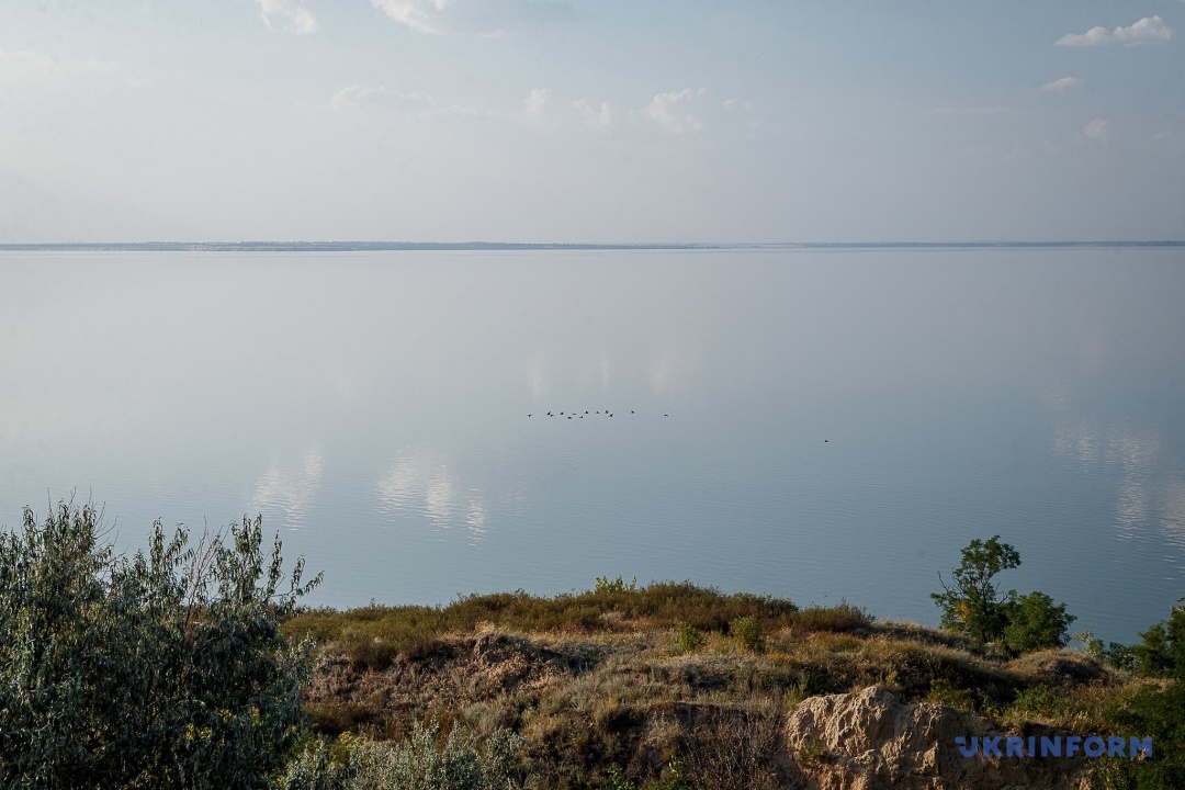
"The territory of the Kakhovka Reservoir is conditionally divided into two zones: the first is under temporary occupation or under fire. It is currently impossible to talk about any excavations or search work in this area. Moreover, we cannot talk about the condition of the archaeological sites there (Cossack settlements, Swiss villages, churches, Cossack cemeteries) until we visually see what is left there. Everything before the DniproHES is also under threat, because there are a lot of so-called archaeological poachers there now," says Toschev.
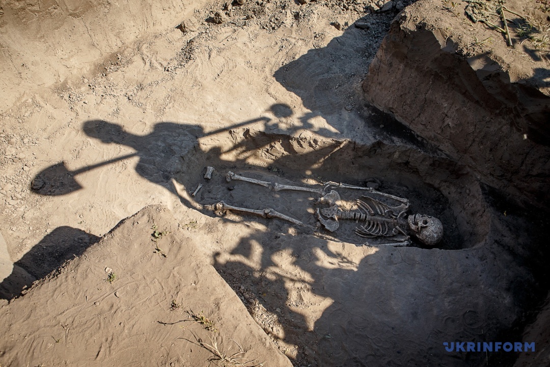
Since 1988, he and the archaeologist Svitlana Andrukh have been conducting a rescue and archaeological expedition to the largest multi-complex cemetery in the Northern Black Sea region, Mamai Hora. During this time, they managed to explore only 30% of the site.
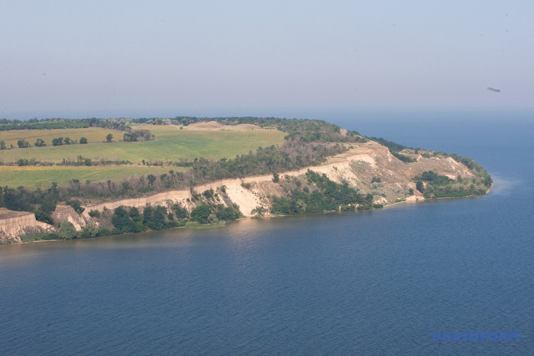
To put it in perspective, the Scythian burial ground Mamai-Hora is located about 150 km from Zaporizhzhia and is considered the largest in Europe. This territory contains burial complexes that hide the history of 8 millennia, from the Neolithic to the late Middle Ages, and now this site is under occupation.
Toschev emphasizes that the wave of the Kakhovka "sea" did not reach Mamai Hora as a result of the dam's explosion, but it did significantly wash away the shore. Therefore, most likely, in a few years this entire mound group will "slide" into the valley of the Konka and Dnipro rivers.
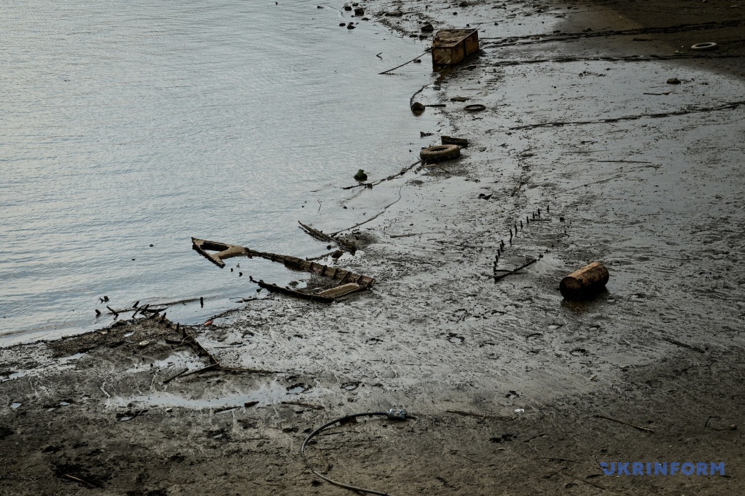
Is it possible to conduct research or excavations at the site of the dewatered reservoir? Not in the next few decades, Toschev and Andrukh are sure.
"We are unlikely to live to see the time when this can be done. Everything there is mined. There will be no research work in the coming decades. We believe that demining will be done at the last minute," they said.
Not far from the Mamai-Hora complex, there is another medieval burial ground called Mamai-Surka. Historians say that it is an indicator that there was no bare steppe in this area, as Russian archaeologists once claimed. Many people lived there, they traded with Byzantium and Western Europe. This is evidenced by things found during earlier research. About half of this burial ground was destroyed during the creation of the Kakhovka Reservoir. The rest has probably already been washed away by water as a result of the dam's explosion.
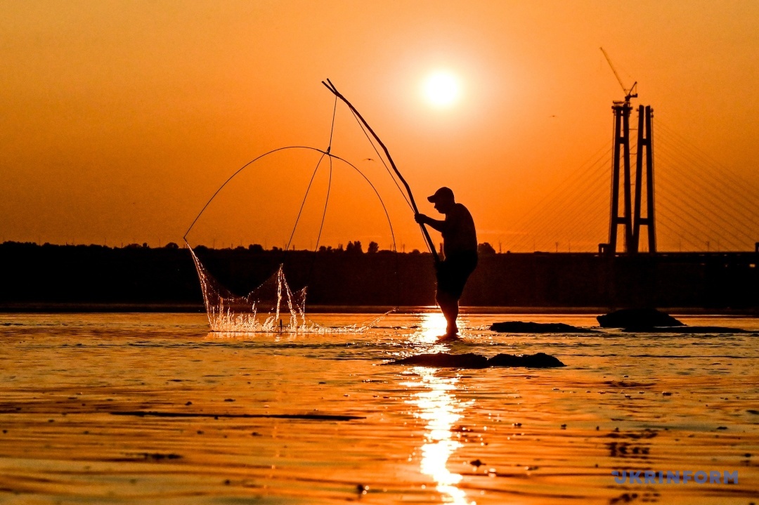
By destroying the Kakhovka hydroelectric power plant, the Russians have actually destroyed unique and scientifically important monuments, rare (even Red Book) plants, and the ecosystem as such. The relevant authorities will calculate the losses, but the consequences of the tragedy will be felt by residents of different regions, including Zaporizhzhia, not even for years, but for decades.
Olga Kudrya
Photos and video by Dmytro Smolenko


